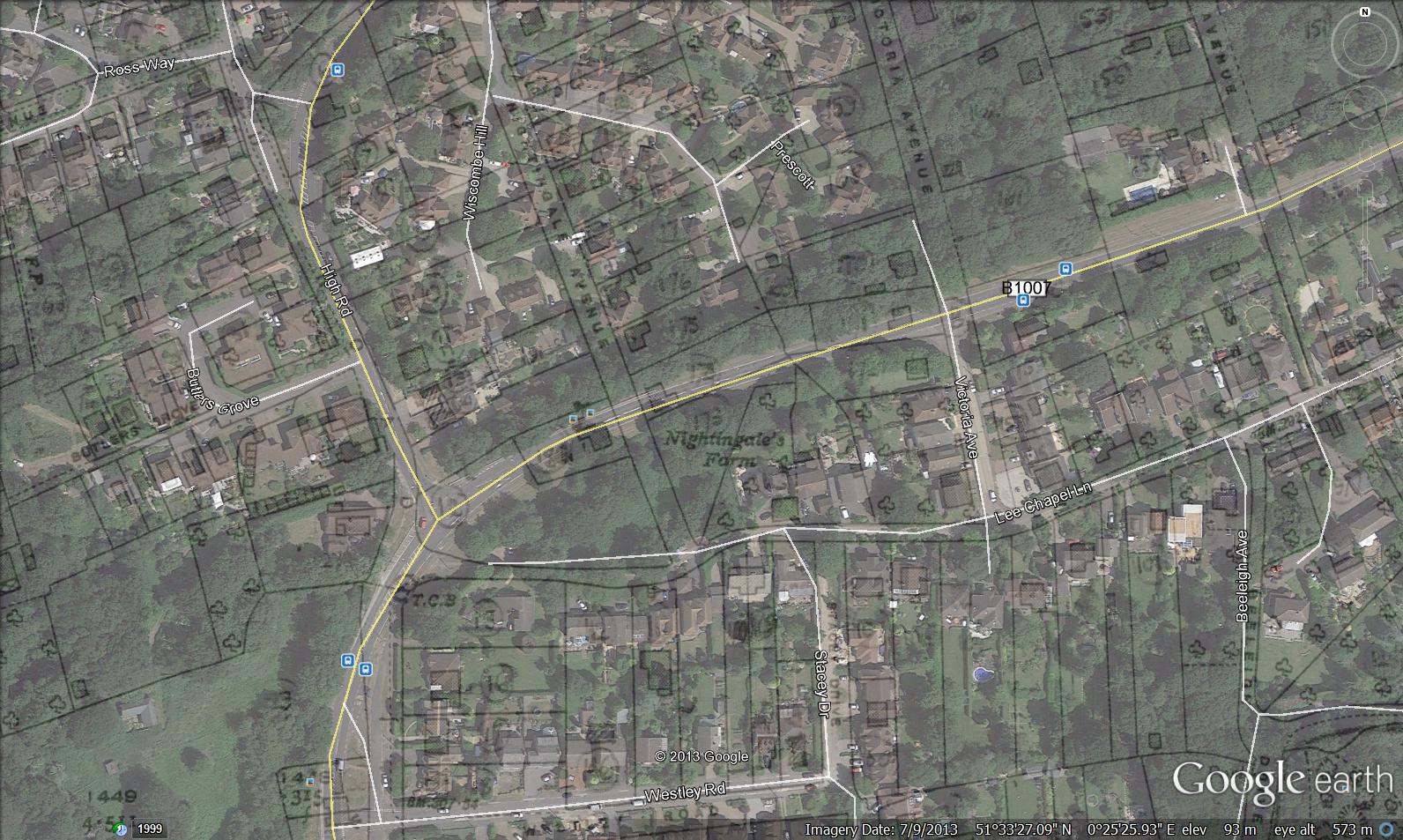
I lived in Lee Chapel Lane at the time and don’t remember anything being said about it having been demolished illegally. But it was a traditional looking old farmhouse and I don’t know how it was allowed to happen. The land was then used as a sort of depot by the team building the new road.
By Chris Ryan (19/12/2021)
I read somewhere that Nightingale Farm was wrongly pulled down. Is there any truth to this? Just curious.


Comments about this page
Add your own comment
I lived in Lee Chapel Lane at the time and don’t remember anything being said about it having been demolished illegally. But it was a traditional looking old farmhouse and I don’t know how it was allowed to happen. The land was then used as a sort of depot by the team building the new road.
I read somewhere that Nightingale Farm was wrongly pulled down. Is there any truth to this? Just curious.
Add a comment about this page